South Cascade Glacier
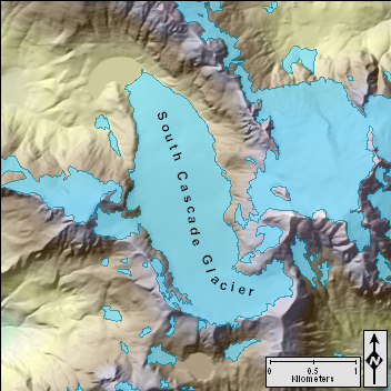
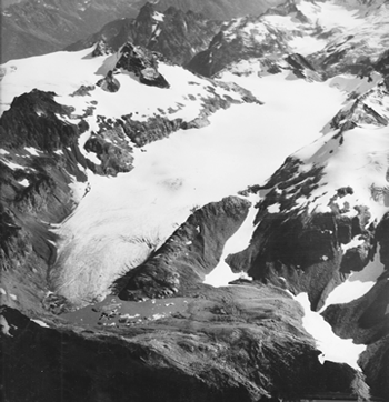 September 24, 1955 |
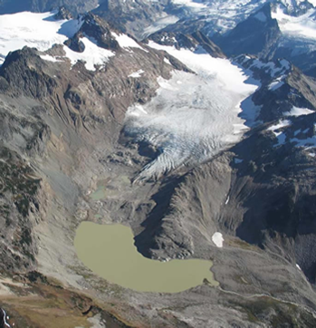 September 27, 2004 |
USGS Monitoring Program
|
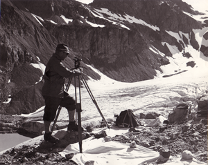
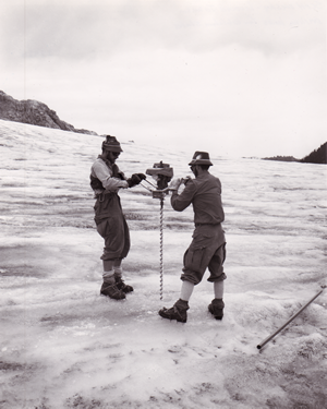
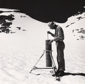
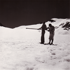
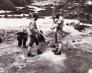
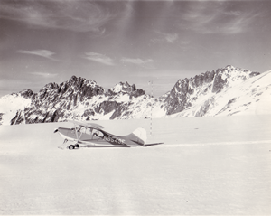
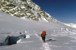
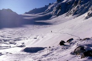
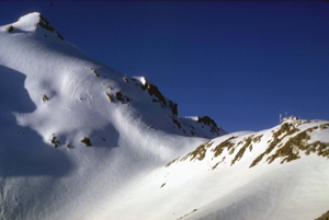
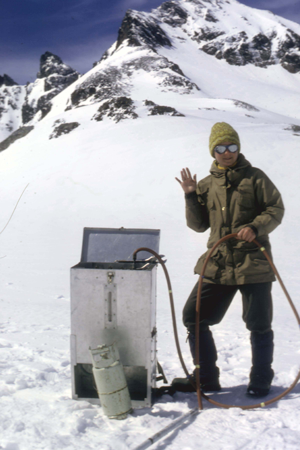
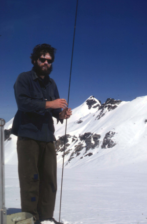
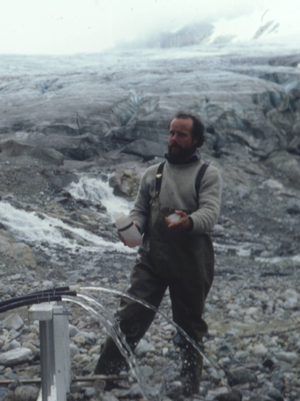
The USGS began work on South Cascade Glacier in 1957 with the introduction of a research and monitoring program intended to observe the relationship between glaciers and climate (Meier, 1971). Glaciers have long been known to be sensitive to climate, and landscape features left by glaciers could be used as indicators of past climate. However, the complex interactions between glaciers and climate needed to be understood in order to better interpret these features. The study was and is part of the research program of the Water Resources Division of the US Geological Survey (USGS). Dr. Mark F. Meier initiated the study and supervised the research program on the glacier for the next 30 years. He was joined by Wendell V. Tangborn in 1960 and Austin Post in 1964. |
|
||||||||||||
|
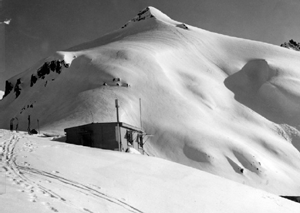
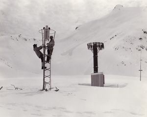
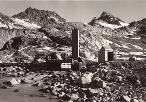
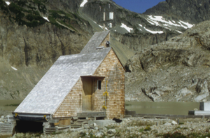
The main gauging station was built in 1957, and subsequently upgraded in 1963, and again in 1969. The gauging station was constructed to protect water stage and meteorological instruments as well as to shelter equipment needed to maintain a small dam and weir that were constructed at the outlet of the lake. The gauging station received an architectural design award and may be the only gauging station in the world to have been so honored (Fountain, 1982). The building was destroyed by an avalanche in 2000, and the stream flow was thereafter monitored by a gauge closer to the glacier terminus. Another building providing lodging, the ‘Hut’, was built on a bedrock ridge on the west side of the glacier in the summer of 1959 and enlarged in 1965 (pers. comm., W Tangborn). It included a kitchen, bunk room, instrument laboratory, and small shop. This building was powered by an electrical generator housed in another small building that included a small shop. |
|
||||||||||||
|
|
||||||||||||
|
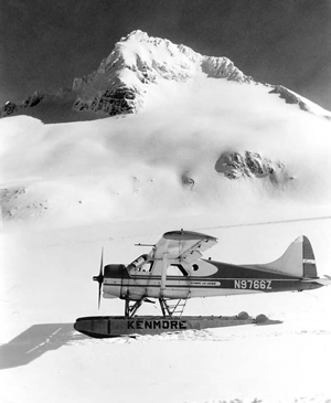
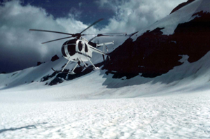
Work continued in the 1960s with the support of the USGS and the selection of South Cascade Glacier as a study site during the International Hydrological Decade (1965-1974) in 1964 (Meier, 1971). The International Hydrological Decade was intended to promote cooperation between countries while enabling them to have a better understanding of their hydrologic resources and how those resources could be utilized. South Cascade Glacier served as a test bed for the development of the Combined Balances Program, and many of the standards for the International Hydrological Decade were developed by an international workshop on this glacier. International luminaries such as John F. Nye and John Glen (UK), Valter Schytt (Sweden), Gunnar Østrem (Norway), and Shi Yafeng (China) visited the glacier during and after this effort (pers. comm., M Meier). |
|||||||||||||
|
|
||||||||||||
|
|
||||||||||||
|
|
||||||||||||
|
|
||||||||||||
|
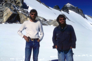
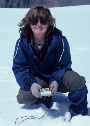
The 1960’s and 1970’s saw the continued growth of the project through the addition of personnel. Robert Krimmel, William Campbell, Lowell Rasmussen, and Donald Richardson joined the project in the 1960s. In the 1970s, Steven Hodge, William Sikonia, and David Frank also joined the project (Tangborn, 2007). In the late 1970s, Suzanne Brown, Carolyn Driedger, Andrew Fountain, and Cindy Heliker joined the project. In the 1980s, after several personnel left or retired, Dave Miller and Bruce Vaughn joined the project for a few years. |
|||||||||||||
|
|
||||||||||||
|
|
||||||||||||
|
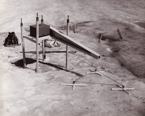
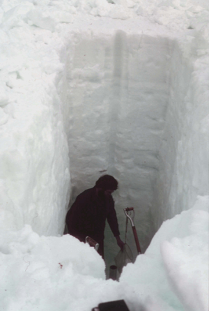
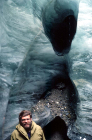
Research continued into the 1980’s and 1990’s, with continued focus on the mass balance and climate interactions, as well as various projects relating to processes such as subglacial hydrology and runoff (Snyder, 1996). Starting in 1986, the USGS began publishing annual reports on the measurements taken on South Cascade Glacier. These reports summarize the finding of the previous balance year and contain the data collected during that year. |
|||||||||||||
|
|
||||||||||||
|
|
||||||||||||
|
|
||||||||||||
|
|
||||||||||||
|
|
||||||||||||
|
Monitoring of South Cascade Glacier has continued, uninterrupted, into the 21st Century. Currently (2009), William Bidlake, Ed Josberger, and Mark Savoca continue the USGS monitoring program at the USGS Water Resources Center in Tacoma, Washington. They make periodic visits to the glacier each year, continuing the work started by Mark Meier in 1957. |
|||||||||||||
|
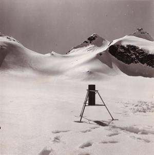
South Cascade Glacier is perhaps best known for its long history of mass balance measurements, an important contribution to our understanding of climate change. Many of the methods for measuring mass balance and ways of thinking about the mass change of glaciers were worked out at the glacier. The early work on understanding how water flows through snow, into, and under a glacier took place at South Cascade Glacier. Finally, the early experiments on how to measure glacier depth using radar frequencies, a common method today, took place on South Cascade Glacier. |
Acknowledgements
| Special thanks to Wendell Tangborn, Mark Meier, and Carolyn Driedger for providing information and personal insight on the work that has taken place on South Cascade Glacier. |
Links
Bibliography
|
Bidlake, W. R., Josberger, E. G., and Savoca, M. E., 2007, Water, Ice, and Meteorological Measurements at South Cascade Glacier, Washington, Balance Years 2004 and 2005: U.S. Geological Survey Scientific Investigations Report 2007-5055, 70 p. Fountain, A. G., 1982, PROFILE: Project Office – Glaciology, U.S. Geological Survey: ICE, News Bulletin of the International Glaciological Society, v. 69, no. 2, p. 19-22. -, 1993, Geometry and flow conditions of subglacial water at South Cascade Glacier, Washington State, U.S.A.; an analysis of tracer injections: Journal of Glaciology, v. 39, no. 131, p. 143-156. Fountain, A. G., and Fulk, M. A., 1984, South Cascade Glacier Bibliography. USGS Open-File Report 84-441, 14 p. Fountain, A. G., and Jacobel, R. W., 1997, Advances in ice radar studies of a temperate alpine glacier, South Cascade Glacier, Washington, U.S.A: Annals of Glaciology, v. 24, p. 303. Meier, M. F., 1961, Mass Budget of South Cascade Glacier, 1957-1960: Geological Survey Professional Paper, v. 424-B, p. 206-211. -, 1971, Combined ice and water Balances of Gulkana and Wolverine glaciers, Alaska, and South Cascade glacier, Washington, 1965 and 1966 Hydrologic Year: USGS Professional Paper, v. 715-A, 23 p. Meier, M. F., and Tangborn, W. V., 1965, Net budget and flow of South Cascade Glacier, Washington: Journal of Glaciology, v. 5, no. 41, p. 547-566. Nye, J. F., 1960, The Response of Glaciers and Ice-Sheets to Seasonal and Climatic Changes: Proceedings of the Royal Society of London. Series A, Mathematical and Physical Sciences, v. 256, no. 1287, p. 559-584. Snyder, E. F., 1996, Bibliography of glacier studies by the U.S. Geological Survey: USGS Open-File Report 95-723, 35 p. Tangborn, W. V., 1962, Glaciological Investigations on South Cascade Glacier: The Mountaineer, v. 55, no. 4, p. 9. -, 1980, 2 Models for Estimating Climate-Glacier Relationships in the North Cascades, Washington, USA: Journal of Glaciology, v. 25, no. 91, p. 3-21. Tangborn, W. V., Mayo, L. R., Scully, D. R., and Krimmel, R. M., 1977, Combined Ice and Water Balances of Maclure Glacier, California; South Cascade Glacier, Washington; and Wolverine and Gulkana Glaciers, Alaska, 1967 Hydrologic Year: USGS Professional Paper, v. 715B. 20 p. |
Created by Steve Wilson
Created 07/2009
Last updated 29 Aug 2011

