Welcome to Glaciers of the American West
| Glacier Map | Photo Archive | RePhoto Project | States with Glaciers | Downloads |
 |
 |
 |
 |
 |
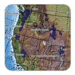
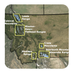
The purpose of this site is to collect and distribute data on the glaciers of the American West, exclusive of Alaska. Glaciers are commonly found in Washington, Oregon, California, Montana, Wyoming, and Colorado. Also, Nevada, Utah, and Idaho may lay claim to a few glaciers.... maybe.
We have several motivations for creating this web page. First, glaciers are rapidly shrinking due to climate warming. This is true not only for the American West, but for most other regions of the world as well. Perhaps glaciers are the clearest expression of climate change. Second, assessment of glacier cover and its change is important to regional stream flow and global sea level. Finally, glaciers are fascinating landforms. Technically speaking they are minerals close to their melting point and small changes in temperature change their phase from ice to water, or vice versa. And their flow behavior is similar to paint. Under the right conditions they store information on past climates, which can be retrieved and analyzed. Such studies have revolutionized our understanding of past climatic variations and provide a glimpse of what can happen in the future. These topics are briefly discussed on various pages on this site and links to other sites.
This project is created by students and staff from the Geology and Geography departments at Portland State University with funding from the National Science Foundation, NASA, the US Geological Survey, and the National Park Service.
 |
 |
 |
 |
This project is part of the Western Mountain Initiative: |  |
