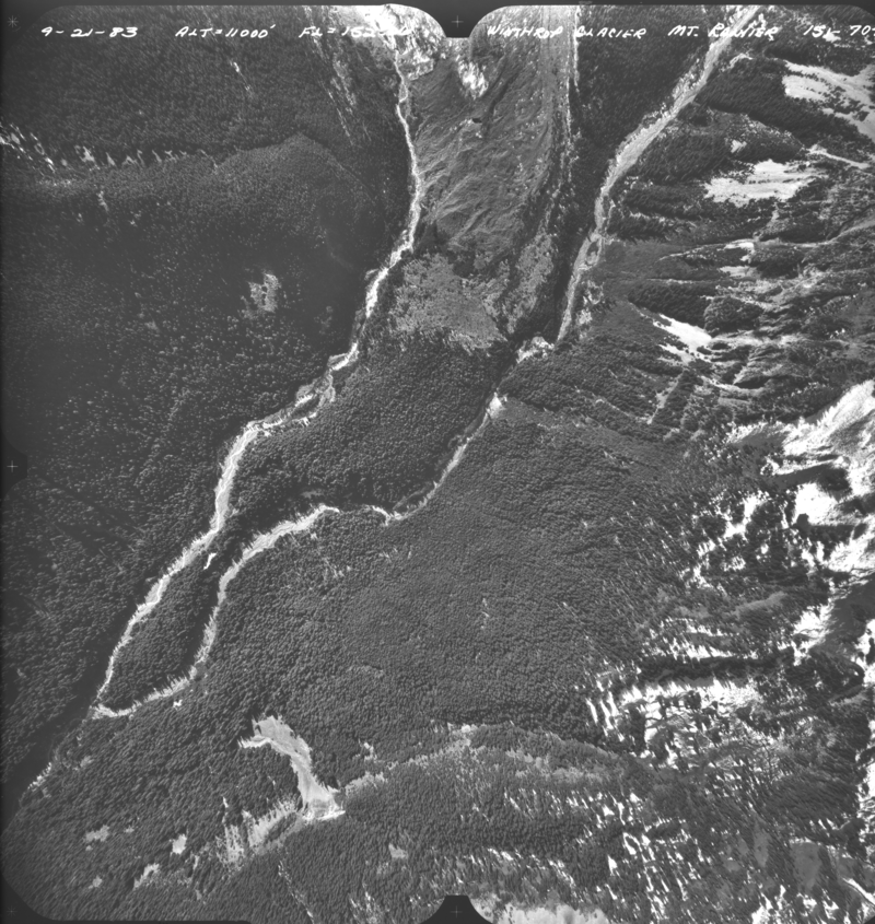
Winthrop_1983_01
Submitted by admin on Fri, 2009-04-10 16:11

Asset Type:
Photo
Georeferenced:
No
Allow Full Scale Downloads:
Yes
Start Date:
9/21/1983
Asset Source:
U.S. Geological Survey

Height:
11000
Notes for Photo:
USGS Mount Rainier aerial photos
Photographer:
Unknown
Date Scanned:
7/1/2004
Scanee:
THN
Notes:
Barely covers the lower terminus, mainly of the stagnant ice and river below terminus
