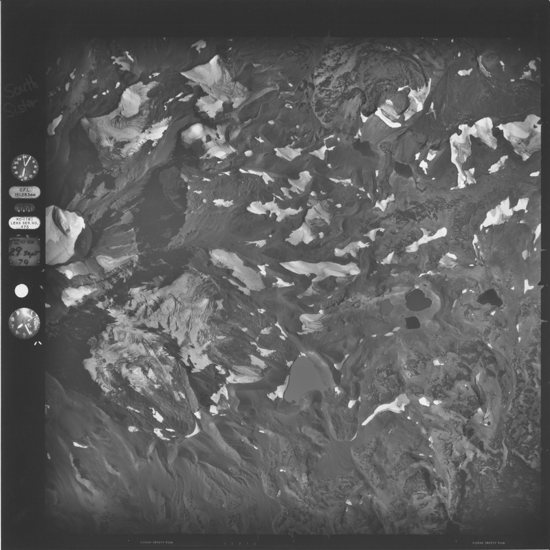
Prouty_1979_02
Submitted by kthorney on Fri, 2013-05-31 14:05

Asset Type:
Photo
Georeferenced:
No
Allow Full Scale Downloads:
Yes
Start Date:
9/29/1979
End Date:
9/29/1979
Asset Source:
U.S. Geological Survey

Height:
6400'
Photographer:
unknown
Date Scanned:
5/1/2011
Scanee:
Ohlschlager, J.G.
Notes:
Scanned at USGS; Includes Skinner, Carver, Eugene, Lost Creek, and part of the Irving
