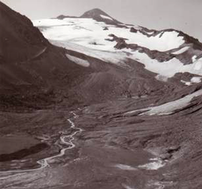
Collier Glacier
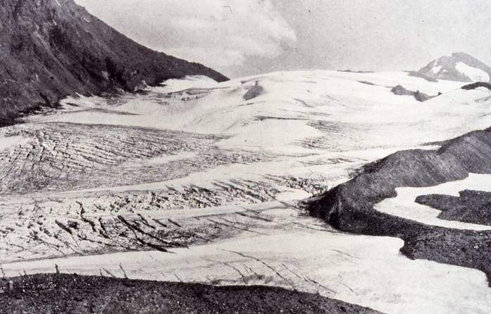
Collier Glacier, 1910 (Kiser photo)
|
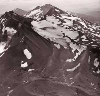
Until 1924, Collier Glacier extended from the saddle between North and Middle Sister to the base of Collier Cone (Mountain, 1984; McDonald, 1995). Between 1924 and the early 1950s, however, Collier underwent a drastic retreat of about half its 1910 length. Since then it has continued to decrease in area, but at a much slower rate. The following photographs are courtesy of the Mazamas, Jim O'Connor (USGS), and Peter Clark (Oregon State University). |
|
 1934 (R. H. Keen) |
 1942 (R. H. Keen) |
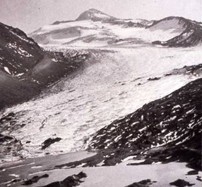
 1949 (R. H. Keen) |
 1973 (R. H. Keen) |
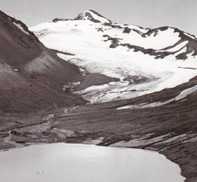
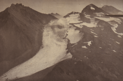 1937 (C. P. Richards) |
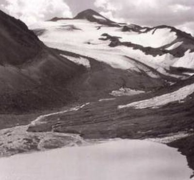
 1965 (A. Post) |
|
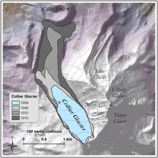
The map illustrates change on Collier Glacier between 1910 and 1994. The large decrease in area from 1910 to 1949 is deceiving, because the flow of Collier Glacier was blocked by Collier Cone, and as a result had thickened. As temperatures warmed during the early 20th century, lower Collier Glacier was thinning, but did not retreat until 1934, when it finally began its retreat from Collier Cone. By this point, the glacier was thin enough that only a small loss of ice (ablation) on the terminus resulted in a large areal loss (Mountain, 1984). |
 |
Bibliography
|
McDonald, G. D., 1995, Changes in mass of Collier Glacier, Oregon, 1910-1994. M.S. Geology, Oregon State University. Mountain, K. M., 1984, Collier Glacier: a rethink of its history and comments on its climatic status since 1975: Mazama, v. 66, p. 34-37. |
Created by Keith Jackson: 06.06.05
Last updated 1 July 2011